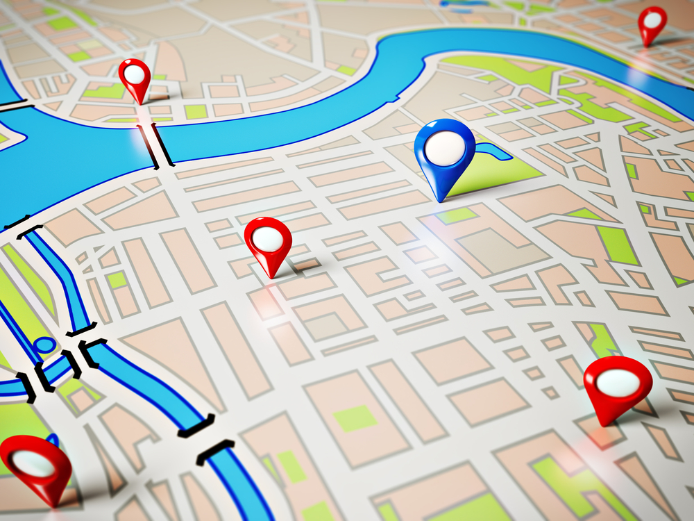
GIS based Round Trip Distance System
GTI has developed an accurate Geo based round trip distance(RTD), mapping for identifying the shortest all weather motorable route for transportation of POL between the Supply Location and end point/ retail outlet, asset mapping and web based Customised Application software for distribution network entities to optimize its resources.
GIS Based Route Management Software Features
- User-friendly GUI.
- Graphically display the customers of IOCL position on a screen with different levels of zoom.
- Apart from route report generated in a report form Report is selectable for Supply Location/Divisional office/State Office/Regional office/Head Office etc.
- User is able to dynamically select one or more of the attributes of an object, to be display as label of the object. This can be for viewing, and printing purposes.
- System supports representation of the Entities/Objects/Elements in different colors based on the attribute criterion.
- System is be able to display different objects at different scales. It should be a one-time definition as well as the user should be able to define it dynamically.
- Perform move, copy, rotate, mirror and offset.
- Specifies the real time measurement/length while drawing the lines.
- Support raster Images/scanned photographs.
- The system does Plotting and Printing of graphical areas.
- Placement of Own Legend, Scale, North Arrow and various Texts styles in plotting template is also possible.
- System provides query builder and support multiple/complex SQL queries.
- It supports Sorting, Filtering and display records in Tabular/Browser formats and saves the queries
The system incorporates
Procurement of GIS maps legally accessed.
Route Field Survey:
All the routes to be taken by the trucks of the cliend from a Supply Location to end points/retail outlets/consumer covered by the location is located with following attribute details by us: Distance in KM between Supply Location to end points/retail outlets/ consumer by all weather motorable shortest route. RO details: Name, Postal Address.
Name of the Highway (National Highway, State Highway, Other Roads).
Name of the Supply Location.
Monitoring of field Survey data:
The progress of work can be monitored by on fortnightly basis.
Verification of Data:
Cross-verifying the RTDs submitted can be verified. Variation is not be more than +/- 5 km for each RTD.
Methodology:
- Physical Route GPS/GIS/Remote Sensing based identification between Location to end point/Retail Outlets/Consumer.
- Supply, installation and commissioning of GIS Software for RTD Calculation, inter alia having the following specifications;
- Customization application software.
- Point to point query.
- Display of map with route length, route distance and segment wise distance.
- Display of district wise Retail outlets/customers.
- Display of supply point wise retail outlets/customers
- Supply, configure and install the server as required at the office of the company for the web architecture application to meet present and future demand of at least next five years;
- Acquire the geo-coordinates of each and every supply & destination points for mapping the same on to the GIS maps legally procured/accessed.
