
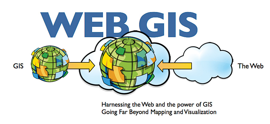
Geographic Information System (GIS)
A geographic information system (GIS) is a computer system for capturing, storing, checking, and displaying data related to positions on Earth’s surface. GIS can show many different kinds of data on one map. This enables people to more easily see, analyze, and understand patterns and relationships. GIS can use any information that includes location. The location can be expressed in many different ways, such as latitude and longitude, address, or PIN code. Many different types of information can be compared and contrasted using GIS. The system can include data about people, such as population, income, or education level. It can include information about the land, such as the location of streams, pipelines, routes, etc.
-

GIS APPLICATIONS
GIS has wide range of application and uses:- Cost saving: GIS improves and optimize routes for you thus results in cost saving.
- Faster Decision Making: GIS is the go-to technology for making better decisions about location.
- Improved Communication: GIS presents the data on maps and color codes it, which results in better representation and understanding of the Data.
- Better Record Keeping: GIS helps in keeping records for the authorities.
-

GIS BENEFITS ORGANIZATIONS IN ALMOST EVERY INDUSTRY
GIS allows you to map the location of objects, Specific street addresses and coordinate data (i.e., longitudes and latitudes) and future conditions of resources can be predicted based on current and historical data. A GIS can help you organize and centralize your data: Spatially-enabled websites can provide an excellent tool for education and public information.
-

GTI PROVIDES FOLLOWING SERVICES TO GIS SECTOR
- Application Development
- Mapping
- Data Related Services
- Remote Sensing
- Satellite Image
- Photogrammetry
- Solution Specific Services
GIS SOLUTION BY GTI
Solution Specific Application Development
Often, off-the-shelf software applications are too generic to support an organization's specific needs efficiently. With a sound data foundation in place, several applications can be purchased, developed, and/or customized to help automate repetitive tasks, perform spatial analyses and modelling. GTI develops these applications to be standalone GIS applications or embedded into an existing application. They can either be Windows-based or web-based applications. GTI develops such solution specific application development
-

DATA RELATED SERVICES
GTI undertakes GPS, DGPS, Property, Pipeline and Utilities survey and have successfully completed numerous projects. We assist clients in finding appropriate existing data sources and compiling these varied data into a unified GIS database. The following data related services are offered by GTI:- Data Collection
- Data Migration
- Data Modeling
- Data Creation
- Image Processing
- Data Cleaning and Validation
- Off-Site GIS Management
-

REMOTE SENSING & SATELLITE IMAGE PROCESSING
We specialize in the generation, editing and maintenance of data for GIS and offers the full range of services necessary for successful geospatial data implementation. Our Geo-Spatial services include:
- Pipeline Mapping
- Land use / Land cover Mapping
- Environmental Applications
- Urban Mapping
- Utility Planning
-

Geospatial Technical Services
We specialize in the generation, editing and maintenance of data for GIS and offers the full range of services necessary for successful geospatial data implementation.Our Geo-Spatial services include:- Conversion
- Data Integration
- Image Processing
- Field Survey
- Mobile Mapping
- Enterprise GIS
